A vision for change in the Latorica River
-
Rivers and Lakes
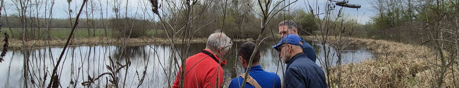
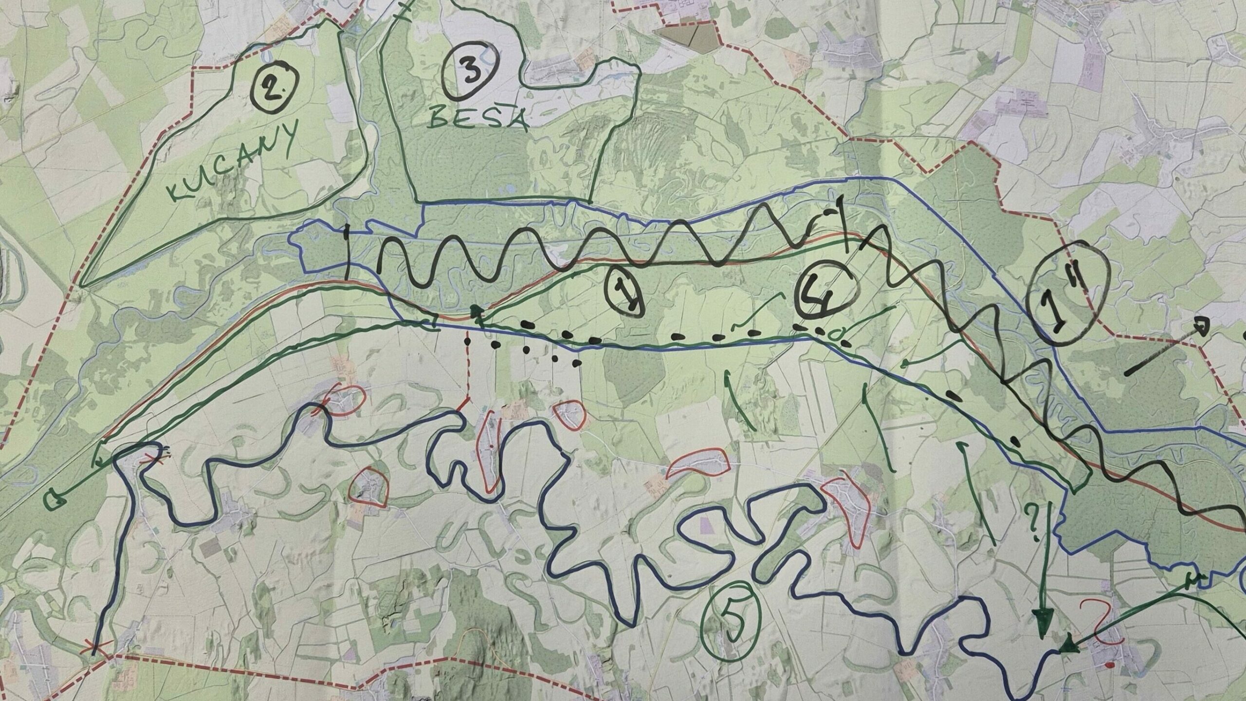
After workshops in Slovakia and Ukraine, a vision for restoring the Latorica river that connects Slovakia and Ukraine is taking shape. Ideas for re-meandering the river and seasonal rewetting in the wider landscape were discussed and visualised on maps as the basis for action to benefit both the region’s unique nature and the water resilience of the people living there.
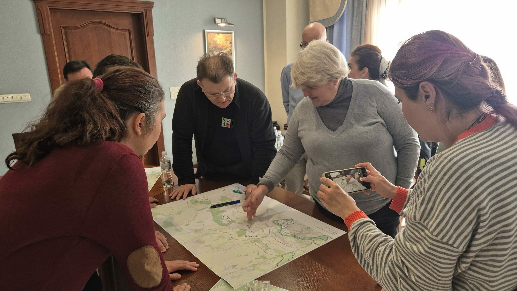
In April, Wetlands International Europe convened the vision workshops with our government and NGO partners as part of the planning project Reconnecting the Latorica River Floodplain supported by the Endangered Landscapes & Seascapes Programme. They were joined by other important stakeholders shaping the landscape, including local and regional authorities, scientific institutes and the Ministry of Agriculture.
Based on studies that were shared at the workshop analysing the health of the landscape, what’s become clear is that the current system is not good for either people or nature. In the previous century the Latorica River was confined by dykes, mostly to protect the wider region from floods. Outside the dykes, the drainage system that was optimised to support agriculture by keeping the land dry is functioning in much the same as in the 1960s, pumping excess water from winter rains into the river.
But floods are now much less common and the frequency of drought has grown over the last few decades. Without more water retention in the landscape in wetter winter months, dry soils in early spring increasingly mean parched ground in summer, due to a lack of replenishment of surface and groundwater. This is important because it coincides with the growing season – for both nature and agriculture.
Future predictions for decreases in summer precipitation only reinforce the need to change the current system. This is already evident for the floodplain hardwood forest as over half has been lost in the span of decades. Other species and habitats of European importance that depend on wet conditions are also suffering. Rewetting and sustainable management are needed to stop the decline and recover the unique nature that is part of the region’s identity.
What’s encouraging is that the need to restore nature aligns well with the needs of people – both could benefit from keeping more water in the landscape for longer. For this reason, the workshops were valuable for putting new ideas on the table, and for the decision-makers to better understand the win-win possibilities. Plans for re-meandering the main river to benefit nature seem to be widely supported, while letting more water flow for longer periods outside the dykes offers an even bolder large-scale vision to help top up declining groundwater levels and better support extensive agriculture.
In the months ahead, we hope that the workshop exercise with maps can be translated into an ambitious plan, for instance as a flagship initiative under EU’s new Nature Restoration Regulation, which could go hand in hand with another key EU initiative, increasing the water resilience of the people in the region to be safe from droughts and floods.