A new online Atlas of freshwater biodiversity presenting spatial information and species distribution patterns was launched today. The Atlas is an output of BioFresh, an EU-funded project supported by Wetlands International that is putting together the widely dispersed information about life in our rivers and lakes, to better understand, manage and protect our freshwaters for generations to come.
Key freshwater biodiversity information will improve policy-making
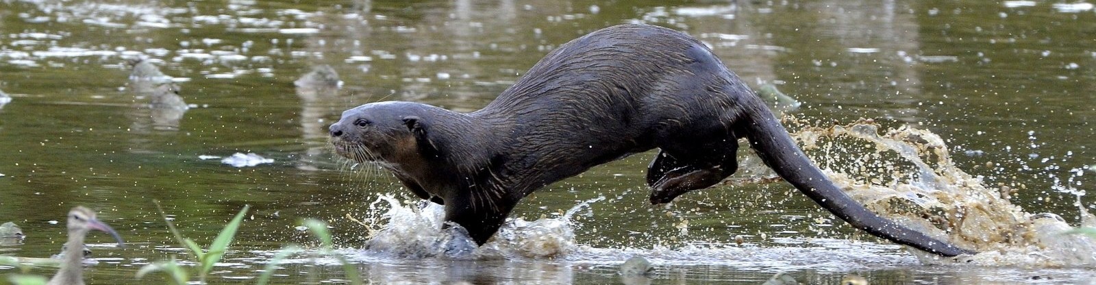
Freshwaters are incredibly diverse habitats: they cover less than 1% of the Earth’s surface yet are home to 35% of all vertebrate species! Sadly freshwater life is declining at an alarming rate faster than any other component of global biodiversity.
A challenge for policy is how to integrate protection of freshwater life and the ecosystem services it provides with real and pressing demands on freshwater resources from the energy, food and sanitation sectors.
This new Atlas is a response from freshwater scientists to this policy challenge. It provides policy-makers, water managers and scientists with an online, open-access and interactive gateway to key geographical information and spatial data on freshwater biodiversity across a range of scales. The Atlas is a resource for better, evidenced-based decision making relating to water policy, science and management.
How it works – interactive map features
The online Atlas adopts a book-like structure allowing easy browsing through its four thematic chapters, on: I) Patterns of freshwater biodiversity; 2) Freshwater resources and ecosystems; 3) Pressures on freshwater systems; and 4) Conservation and management. Each map is accompanied by a short article with further contextual background information. The interactive map interface allows the user to switch between the maps easily, navigate and zoom within maps, and view additional information for each map feature. Unlike a conventional printed atlas this online Atlas can be constantly expanded and updated as new maps and data become available.
It is edited by a pan-European group of freshwater science and conservation experts from 12 research institutes and is supported by a number of the key international partner organisations active in the field of freshwater biodiversity research and conservation, namely the Group on Earth Observations Biodiversity Observation Network (GEO BON), the International Union for Conservation of Nature (IUCN), the Global Water System Project (GWSP), Conservation International (CI), Wetlands International, The Nature Conservancy (TNC) and the World Wildlife Fund (WWF).
Atlas pages to explore
Enter the Atlas via the BioFresh platform
Explore the contents
Interactive map interface
How to contribute
Links
BioFresh information platform
Global Freshwater Biodiversity Atlas